


Decisions Downstream. I worked with watershed scientist Dr. Sarah Null to explore new ways of seeing river habitats. Images revealing scientific data are layered to capture the transcendent experience of encountering our past water development choices and those we face in the future.
For this collaboration, I created pictures that allow the viewer to see multiple layers of visual and scientific images in one view. We used a drone to capture all images. The foundation layer is the visual image of the depicted landscape, and this one is very detailed. The scientific images are from the same point of view and are layered over it. Complex digital imaging methods are used to allow every single layer to be recognized. At the same time, the viewer experiences a visual stimulation that exceeds the mere comprehension of the scientific investigation displaying records of vegetation water temperatures, elevations, etc., and is asked to see this work as a form of art.
East Canyon Dam 2020
Circular image printed an aluminum 60” (152 cm)
Cutler Bay 2020
Printed on aluminum 120”x60” (300 cm x 152 cm)
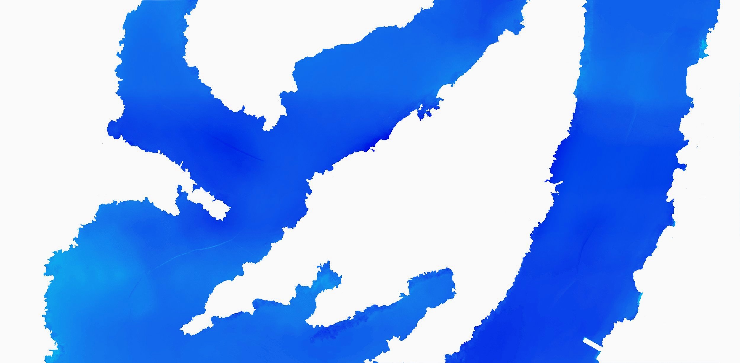
Cuttler Bay 2020
NDVI image
Cuttler Bay 2020
Water temperature image
Cuttler Bay 2020
Red Edge image
Cuttler Bay 2020
Lidar image
Cutler Bay 2020
Visual image
Cutler Bay 2020
Visual image (detail, 100%)